
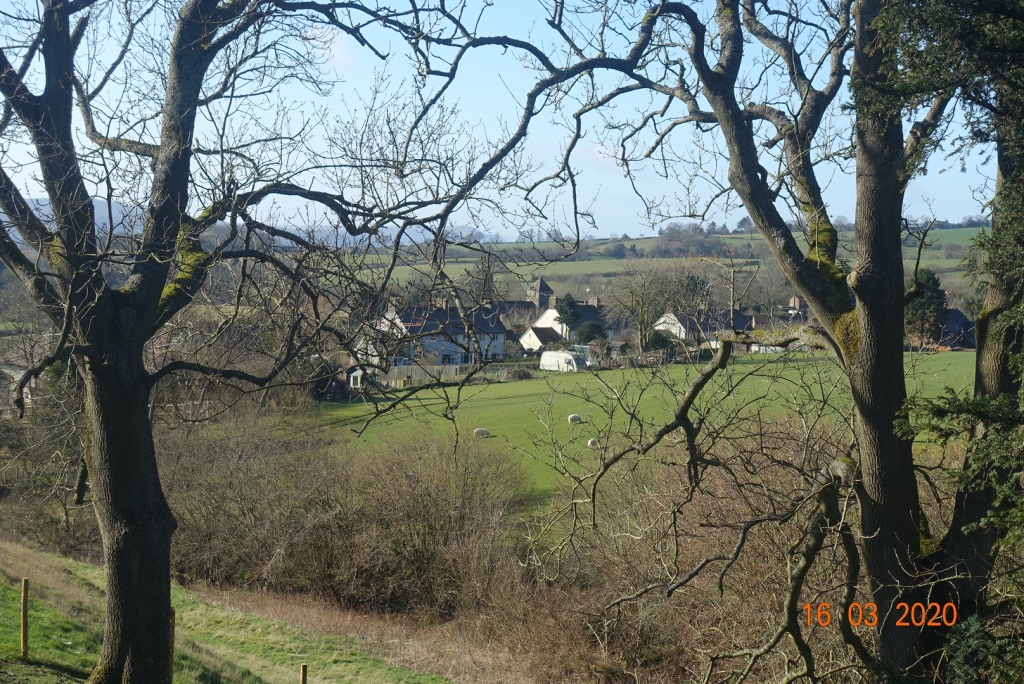
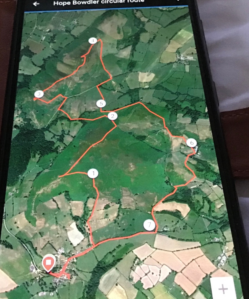
The sky was clear as a bell when I awoke, so an early start onto the hills was in order. I had worked out and memorised a route I wanted to take starting from Hope Bowdler, though whether it would work out in practice was anyone’s guess.
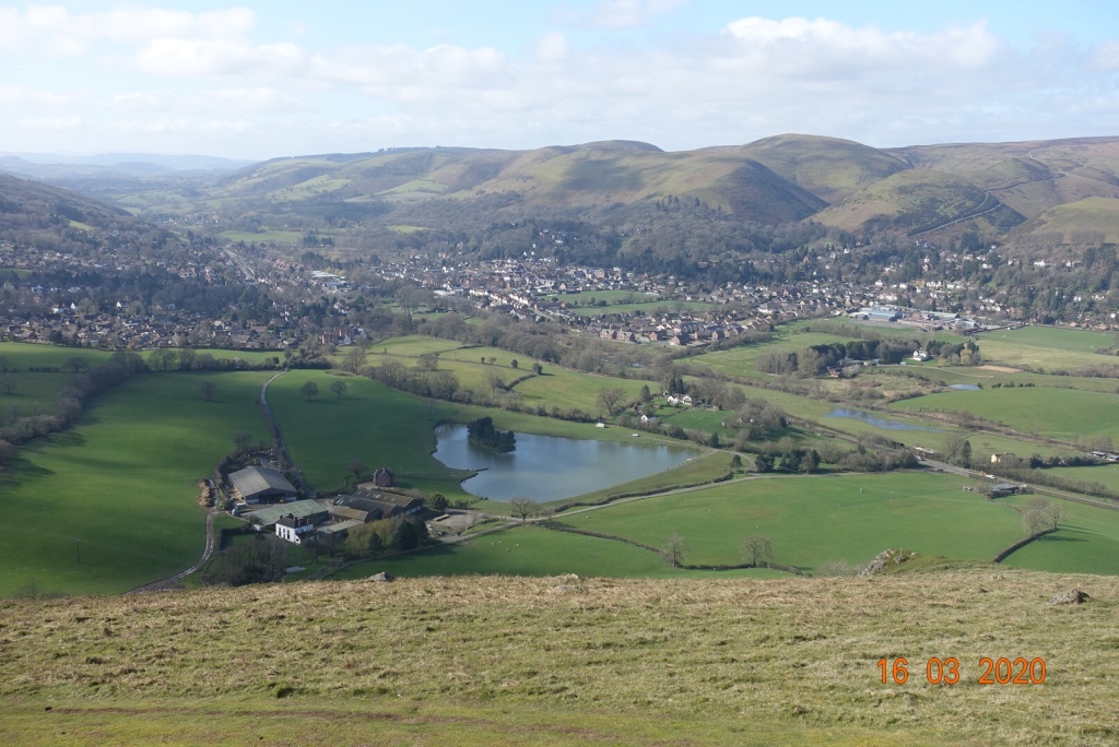
I parked in a lay-by alongside mums taking their children to nursery and walked along the road through the pretty village. I knew my path would be just behind the village on the eastern side of a stream, and I found it without a problem. It was all uphill to the source of the stream, keeping Hope Bowdler Hill to my right.
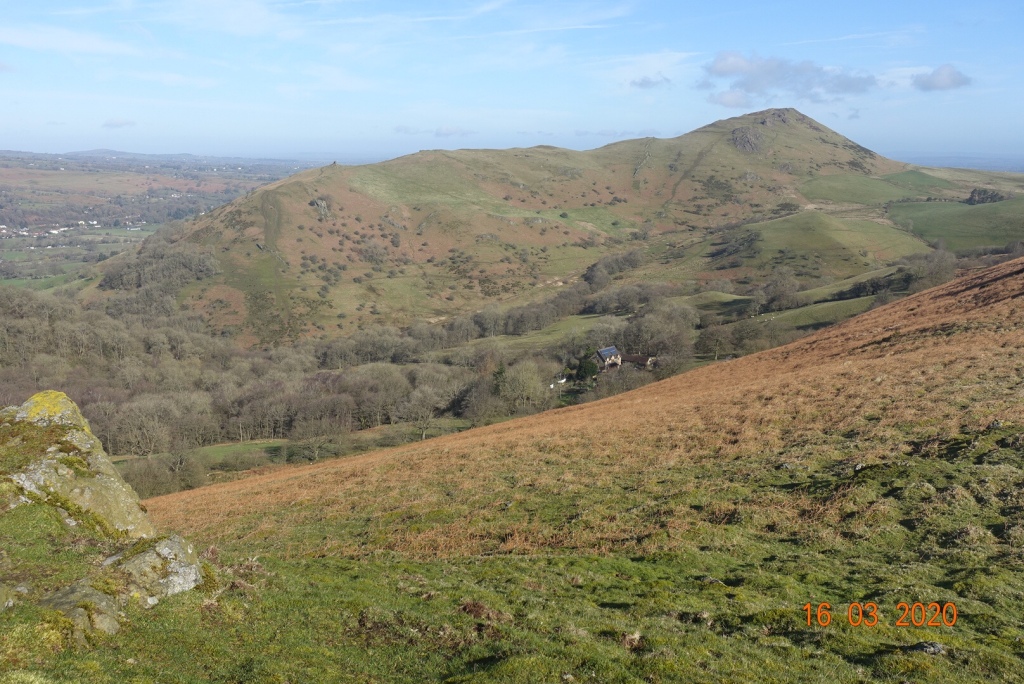
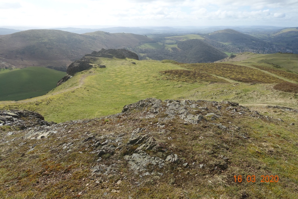
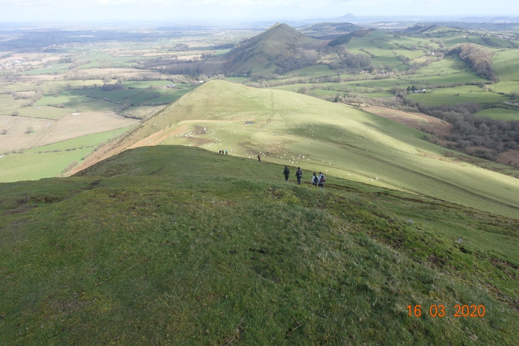
I fully intended to traverse west across the moorland so that I could take in all the peaks, but you could carry on between the hills if you preferred. There are three mini peaks, all nameless, one around 390 metres, the second about 410 metres and the highest at 426 metres. The views across to the Long Mynd were spectacular and the sun warmed my soul as I walked along the ridge. I should mention there is no footpath marked on the OS map but there is a clear path in practice.
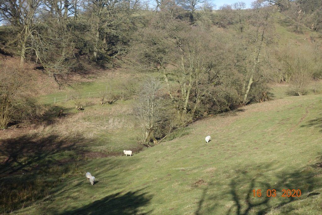
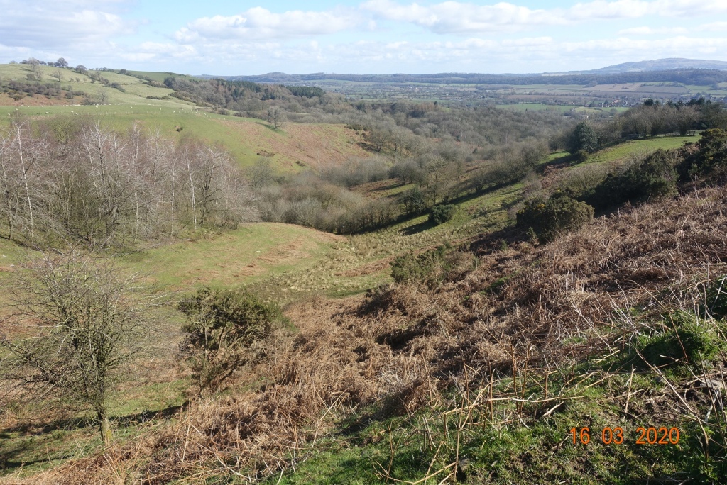
From here there is a steep and uneven descent that curves around the hillside contouring for a short time, before entering the valley, scrubland and forest that is very very boggy. The paths here are less obvious but there is plenty of choice and as long as you know roughly the direction you want to go, you will get there. As it was, I didn’t deviate from my mental route all day, which rather impressed me.
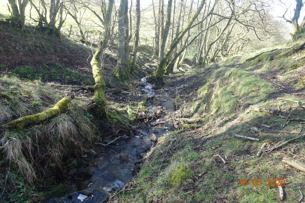
There are little streams to cross, but these are not difficult and eventually you hit the main ‘thoroughfare’ between the Hope Bowdler Range and the Caer Caderoc range. There is a choice of routes. There is a steep path up to the first crag to the left, but given my physical condition I tend to look for the more gradual routes, so I walked eastwards on the path until I reached a gate and stile.
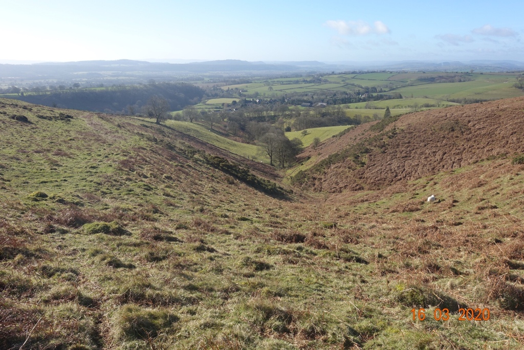
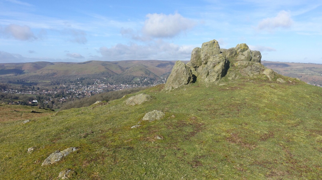
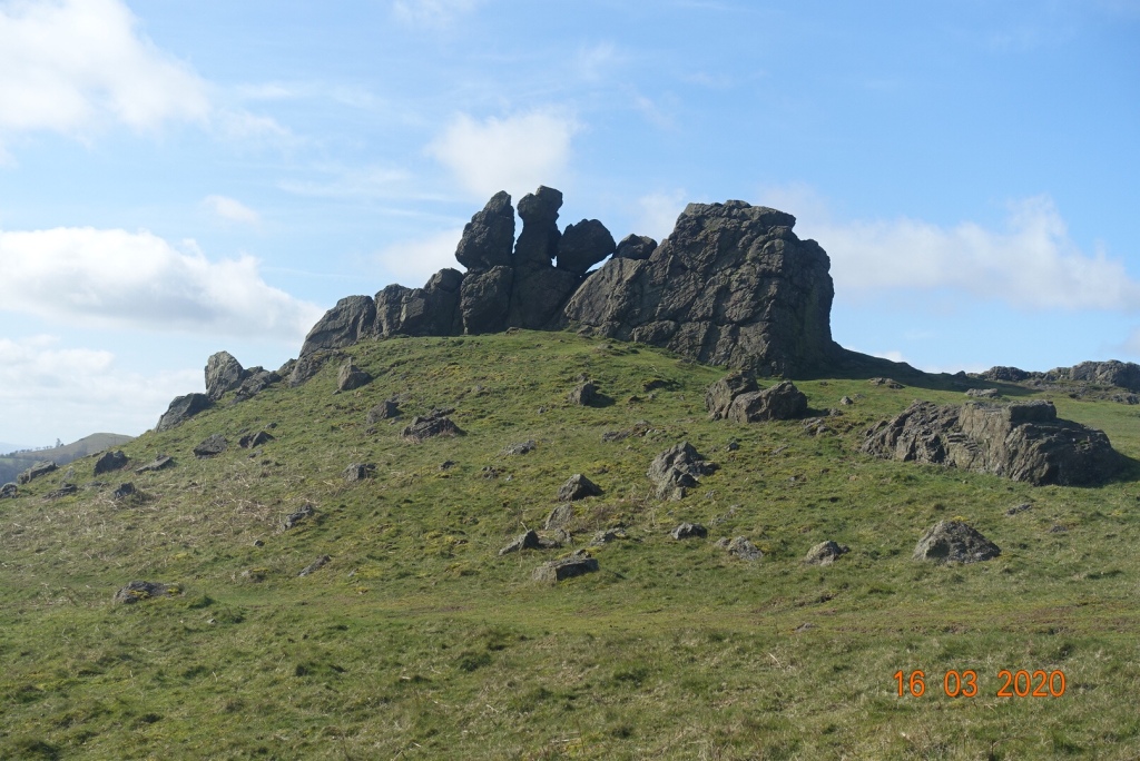
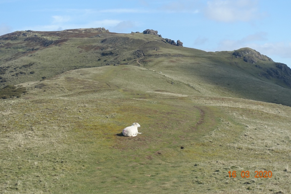
There is a clearly visible route that heads directly to the top of Caer Caradoc, but again I wanted to take in the mini peaks, so I ascended over the tussocky ground to join an easy path to the east to view the nameless peaks. The ridge walk was lovely, undulating and soft underfoot, and there is a slightly steeper rockier ascent to reach the craggy highest point at 459 metres. The views are just stunning from here.
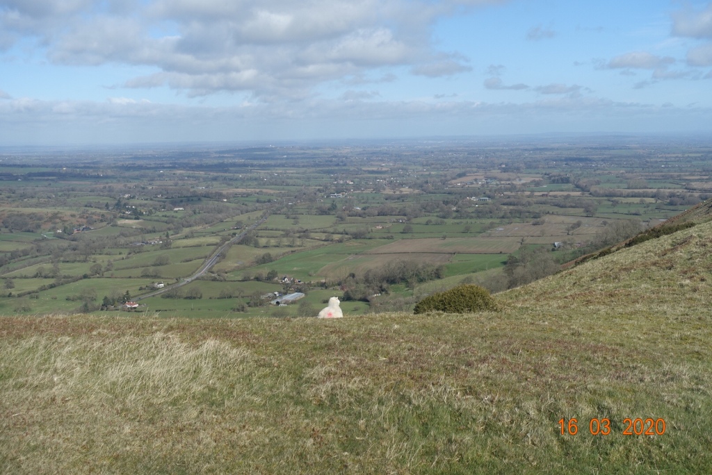
Unfortunately, it is all downhill from this point, and quite steeply too. I would recommend walking poles if you are slightly unsure of your balance. The descent is mostly on peat and heather, as opposed to the grit at the top, so if the path is worn or slippery you can walk on softer terrain which will give you more grip. As the descent eases it turns into a grassy track. You could carry on at this point and do the final hill in this series, but that was not in my plan.
I took a path to the right at the shoulder of the hill and followed this round the base of Caer Caradoc to Cwms Cottage, which is actually a ruin. At this point you are back on the former track. The walk continues for a couple of hundred metres west before turning south to go around another unnamed hill, with Cwms Plantation to the left. Once you reach the stile, the path follows a field boundary for about 10 minutes to a point where there is a conjunction of paths.
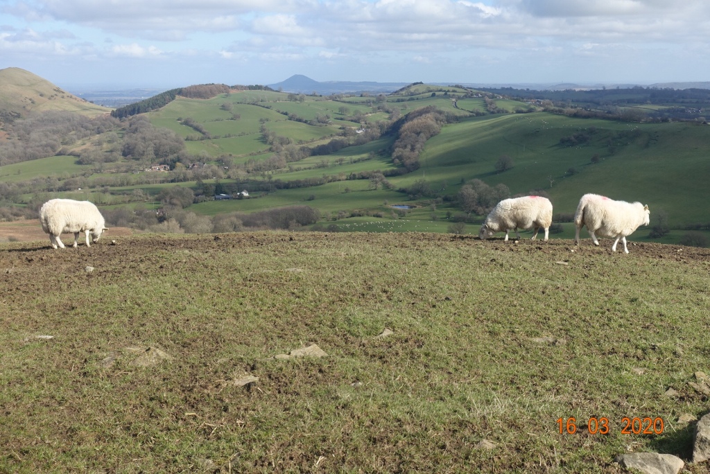
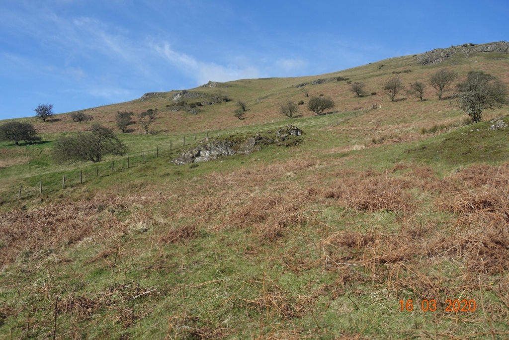
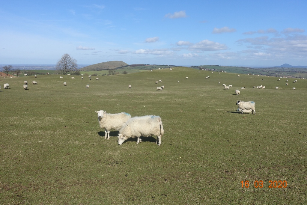
My route took me south and uphill again over but not over the top of Willstone Hill, across an area called Battle Stones. My path then continued over lovely sheep filled grassy meadows and took me down to Middle Hill, where I expected to walk through a farm and continue.
However, it was marked private and no access. I do apologise but I climbed over the fence because the recognised footpath appeared to continue straight on. However, I would not recommend this. I saw no-one but I heard loads of dogs that were clearly aroused by my presence. They were contained in sheds and not visible, but it was a little alarming.
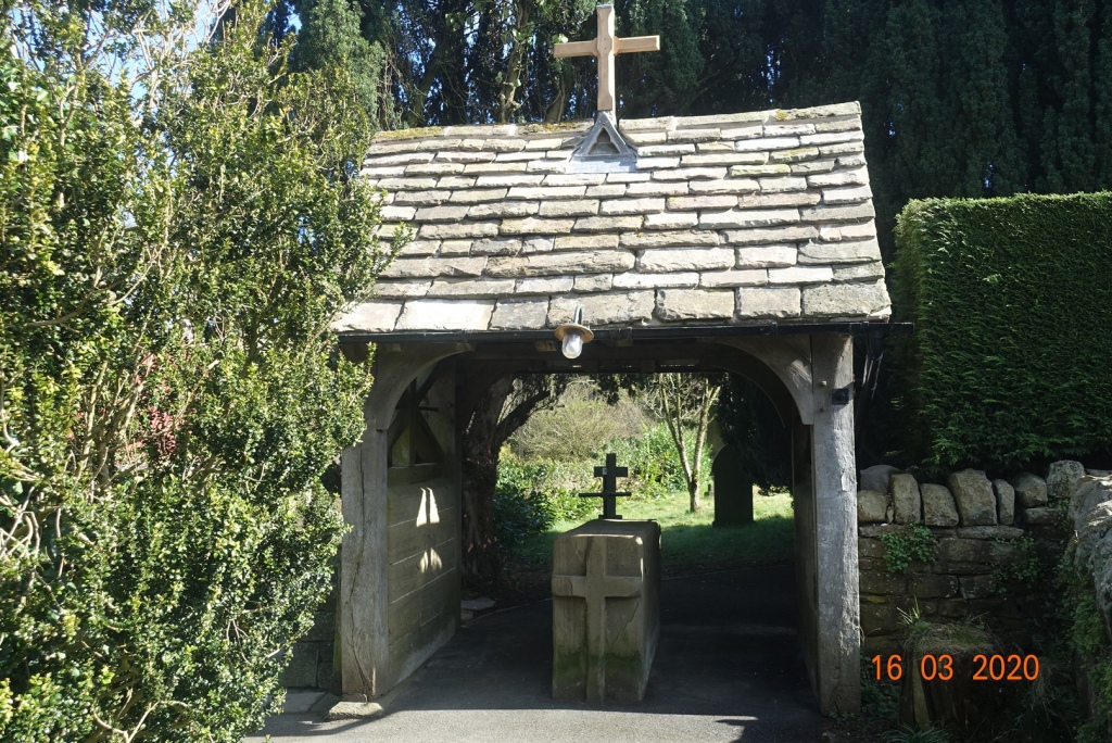
There is an alternative route, so don’t go down to Middle Hill but go to Cardington Hut and follow other waymarked routes. It will add on another mile, but you can actually start this whole walk the far side of Hope Bowdler, so it would even out. As for me I continued on the farm track. Once on the farm track there is another route via Greystones which takes you down to the main road. Either way, all paths lead to the main road and from there it is simple walk on a grassy verge back to Hope Bowdler.If you get the chance to visit St Andrews in Hope Bowdler it has the feel of centuries of worship and activity. It is only a small church, but it is very special, with an avenue of enormous yew trees leading you to the church entrance, and a lytchgate that still has the stone coffin stand in its entrance.
This was a really super walk. It took about 4 and a quarter hours; 8 miles with 1889 ft of ascent and 1922 ft of descent.
Postscript, 22nd March 2020: Sadly, I had barely written this post when news came through that because of the coronavirus, anyone returning to the Isle of Man after 23.59 on Tuesday (the next day) would have to self isolate for 10 days. I took the rapid decision to get the 2.15am ferry and return to the Isle of Man, so after a hurried evening dinner with HF, I packed my car and shot off up the motorway.
On arriving home, I decided to self-isolate for 7 days in any case, so that is what I have been doing these last six days. Thankfully, I do not have any symptoms so I hope to scale up to the social distancing only stage from tomorrow. Our IOM govt has decreed that as long as we are sensible we can take ourselves for solitary walks, so I will try and fit a few in while most other aspects of life have been put on hold.
